Just for fun - take a look below for the instructions to join in our Orienteering Challenge:
- Download MaprunF from the app store on your phone
- Go to Select Event, then UK, then Thames Valley, then TVSS, then Nov20 Marlow Bottom. This will download the event and map onto your phone.
- You will need to fill in some personal details (to register results)
- Allow GPS, location and motion services on your phone. Note – turn up your phone volume
- You need to disable auto-lock on your phone (in your phone settings)
- From the Maprun home screen, click on Go to start
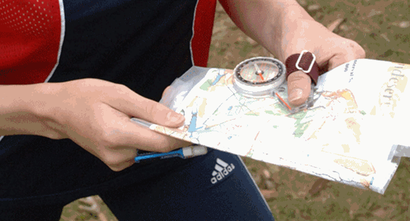
- The map with all the control sites will now show on your phone (if you are new orienteering, you might want to print out the attached map (in colour is essential) to make it easier for reference and route planning)
- Prepare a rough route in advance that you might want to take. If you’re new to orienteering, it is recommended you do a route just within Marlow Bottom.
- Start and Finish (on the map S1/F1) are at the same point in Burford Close, just off Marlow Bottom Rd
- When you are close to S1/F1 on the map (within 5m), your phone will make a noise/beep and you have now started the event and the timer is running. The beep will lagged behind when you’ve reaching a control site.
- Navigate to your 1st chosen control. When you get near (within 5m) of each control site, your phone will make the same noise and register you have been to that control. Then navigate to the next control and so on. To finish the event and stop the clock you must go back through S1/F1 in Burford Close.
- This course is a score event. You choose your own route between as many control sites as you can navigate to in 60 minutes (starting at S1 and finishing at F1). Controls starting with a “1” earn 10 points, with a “2” 20 points and with a “3” 30 points. You lose 20 points for every minute (or part) over 60 mins you are late back to the finish F1.
- You can only use roads (marked as continuous black lines), footpaths (marked as dotted black lines) or anywhere the map is coloured light green or yellow.
- On this map you may not use Wycombe Rd between Marlow Bottom Rd and the Three Horseshoes (marked with purple Xs). You may not use the cemetery. Click here to download the map
If you need some help or want me to do a route with you, please contact me on asouthwood@aol.com or 07774 267 121. Andrew